Aerial Photos of Montana, 2015
U.S. Farm Service Agency - National Agricultural Imagery Program (NAIP)
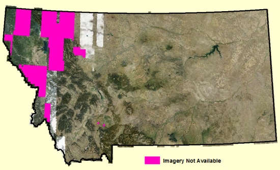
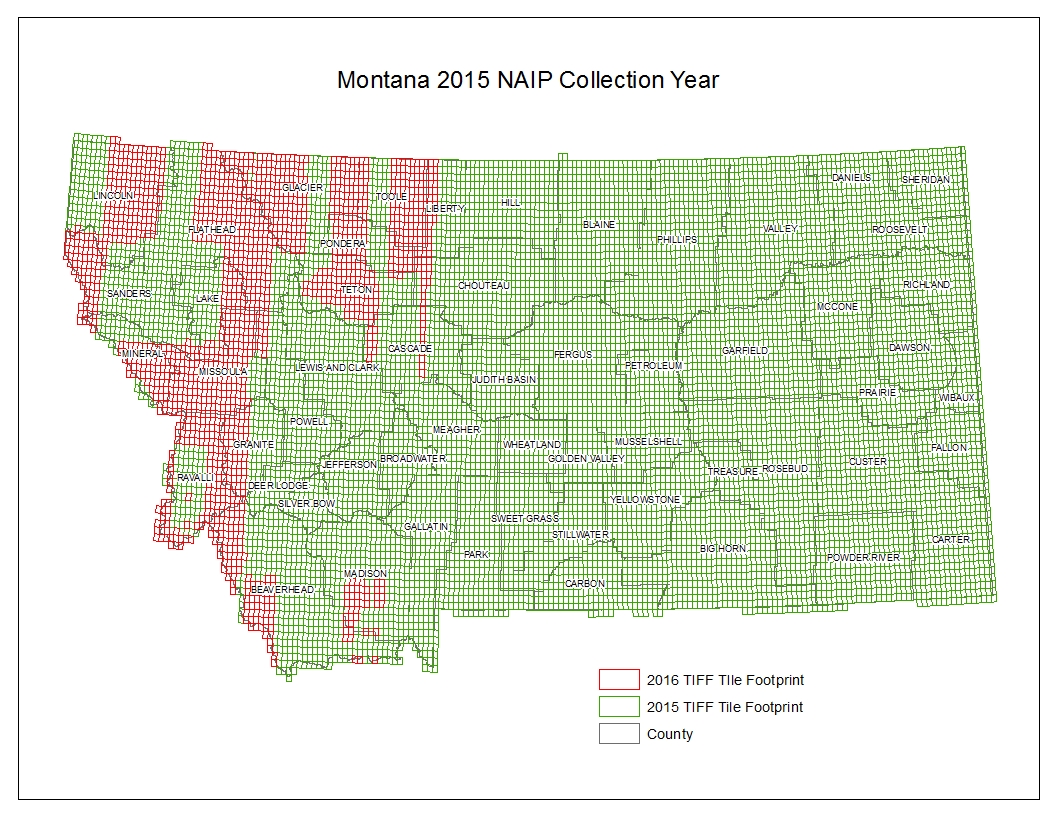
Due to cloud cover, wildfire smoke, and snow cover the imagery acquisition was not completed in 2015. Additional photos were taken in 2016. A map showing areas collected in each year can be found here.
Click on a square in the map below to download the photograph of the area. Most of the images are about 150 megabytes in size. County mosaic images may be downloaded directly from the ftp site.
These photos are in MrSID MG4 format and Montana State Plane coordinates, units meters, datum NAD83(HARN). MrSID MG4 is supported in ArcGIS 10.1 and newer.
The photos are multi-band images with three visible and one near-infrared wavelength, and an alpha band for identifying no-data areas. Most software will automatically display the first three bands as a natural-color image. To see a traditional false-color infrared image, use band four as the red image, band one as the blue, and band two as the green.
The data may also be accessed through the State Library's web map services, and the images may be viewed in your web browser.
Please see our Ordering Aerial Photos page if you need a large number of these images or if you require the images in TIFF format.
The approximate horizontal accuracy of these images is 5 meters.
